Boundary & land title
Boundary surveys, ALTA/NSPS surveys, Records of Survey, Corner Records, easement plotting, and related title work.
Request a quoteLAND SURVEYING · MAPPING · SPATIAL DATA
Professional surveying for property owners and project teams across Southern California. Research-led, carefully measured, and overseen by a California-licensed land surveyor.
TERRASCRIBE INC.
PRECISION, WITH PURPOSEBased in Temecula, Terrascribe provides land surveying, mapping, and spatial-data services throughout Southern California. We support property owners, contractors, developers, engineers, and architects with careful research and dependable deliverables.
Meet the principal surveyorWHAT WE DO
From property boundaries to detailed existing-condition data, our services support projects from early research through construction.
Boundary surveys, ALTA/NSPS surveys, Records of Survey, Corner Records, easement plotting, and related title work.
Request a quoteSite features, spot elevations, contours, orthophotography, point clouds, and terrain models for design.
Request a quoteField layout and staking to position designed improvements, plus as-built surveys to document completed work.
Request a quoteHigh-density 3D measurements of buildings, pavement, curbs, accessible routes, and complex surfaces.
Request a quote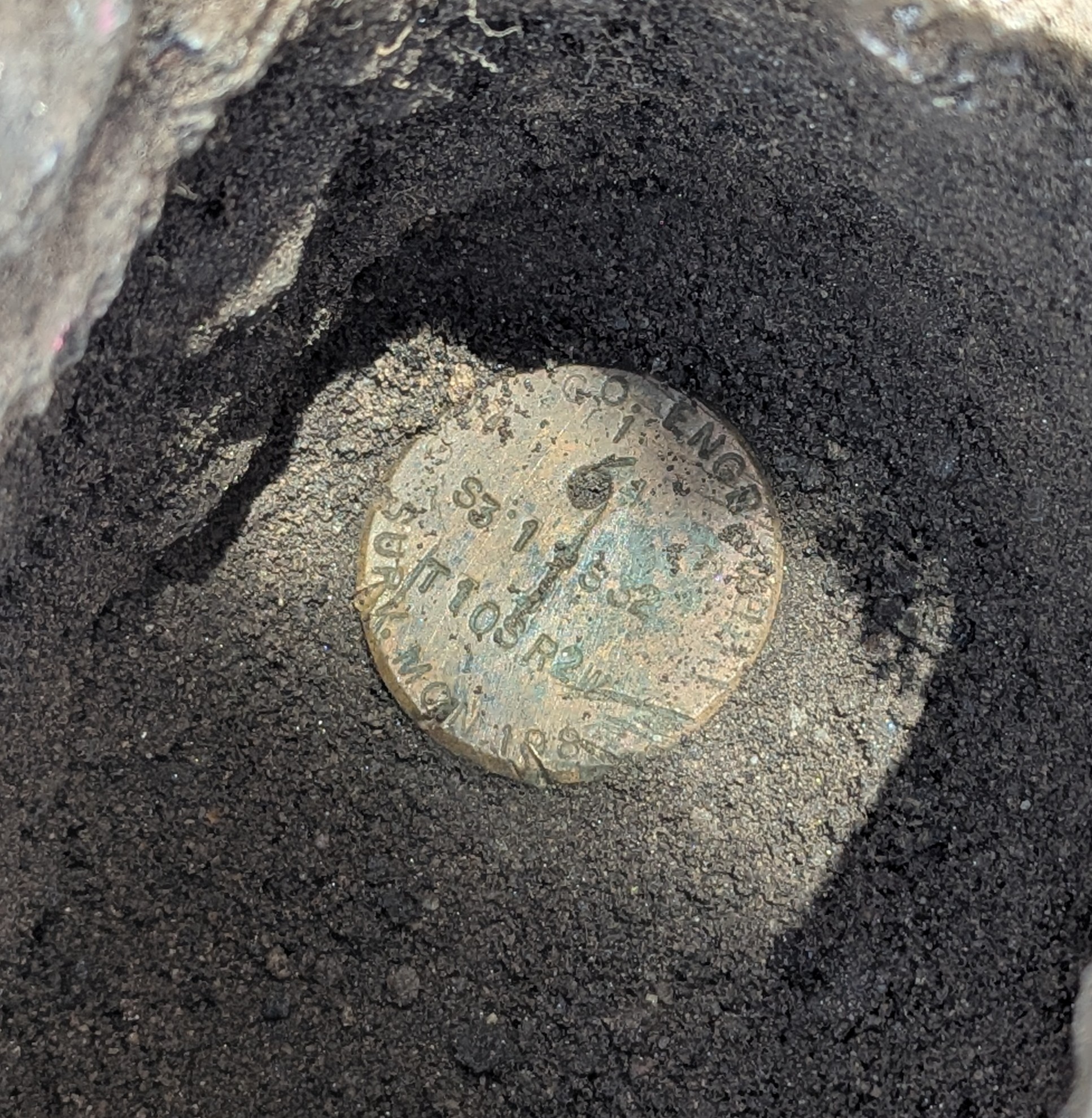 TEMECULA, CALIFORNIA · SERVING SOUTHERN CALIFORNIA
FIELDWORK · RESEARCH · ANALYSIS
PROFESSIONAL OVERSIGHT
Justin Dankel, President and Principal Land Surveyor, oversees Terrascribe’s operations and provides final professional certification. Boundary work combines records research, field investigation, measurement, and professional analysis to reach a documented result.
California Professional Land Surveyor
Justin Dankel, PLS 8526
Research-led boundary work
Records and field evidence inform boundary analysis.
Methods matched to the project
Conventional survey, GNSS, photogrammetry, and scanning.
SELECTED PROJECTS
Historic records and recovered survey monuments helped resolve a disputed property line. Terrascribe staked the boundary and filed a Record of Survey.
HOPE RANCH PROJECTAerial photogrammetry captured a busy cargo facility, with detailed mapping of containers, roads, cranes, and infrastructure.
OAKLAND, CALIFORNIAConstruction layout supported grading, retaining walls, pool placement, and finished-floor coordination, followed by an as-built survey.
LAKESIDE, CALIFORNIAHigh-density scanning documented building edges, concrete, and ADA ramp slopes for an engineering team assessing existing conditions.
ROCK HILL PROJECTCore service disciplines
Southern California service area
Based in Temecula, California.
Serving across Southern California.
START A PROJECT
Share the property location and a little about your project. Terrascribe will have the information needed to review your request.
Temecula, California · Serving Southern California